
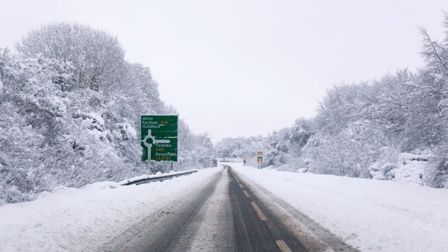
Snow could cause disruption across parts of England and Scotland on Tuesday, with the Met Office issuing a 12-hour yellow weather warning covering 23 areas, including Greater Manchester. The warning begins at midnight on Tuesday, 17 November and remains in place until midday. Drivers and rail passengers could face delays during the morning, particularly on roads and railway lines at higher elevations where snow is more likely to settle.
The Met Office expects a band of rain to move north across the UK overnight on Monday and into Tuesday morning. As the rain reaches colder air, it could turn to snow for a time, bringing wintry conditions to parts of northern England and southern Scotland.
How much snow could fall?
Snow is most likely in places at least 100 metres above sea level. Lower areas could also see some snowfall, although it’s expected to be short-lived and melt fairly quickly rather than settle on roads and pavements. Where snow settles, forecasters expect between 1 cm and 5 cm. Higher ground above 300 to 400 metres could receive between 5 cm and 15 cm, making conditions more difficult for anyone travelling through exposed or elevated areas.
Travel disruption and power cuts could be on the cards.
Roads and railways could be affected during Tuesday morning, especially on higher routes. Strong easterly winds may also blow lying snow across exposed roads, making driving more difficult and potentially causing further delays for commuters.
There’s also a possibility of power cuts and disruption to mobile phone coverage in affected areas. Ice could build up on infrastructure, including overhead power lines, although these problems are possible impacts rather than something expected in every location.
View this post on Instagram
Areas covered by the snow warning
The warning covers 23 areas across the East Midlands, North East England, North West England, West Midlands, Yorkshire, and parts of southern Scotland. Greater Manchester is included, alongside several other northern English counties and local authority areas.
The areas named in the warning are Greater Manchester, North Yorkshire, South Yorkshire, West Yorkshire, Derbyshire, Nottinghamshire, Darlington, Durham, Gateshead, Newcastle upon Tyne, Northumberland, Blackburn with Darwen, Cheshire East, Cumbria, Lancashire, East Ayrshire, South Ayrshire, South Lanarkshire, Dumfries and Galloway, Midlothian, Scottish Borders, Staffordshire and Stoke-on-Trent.
When conditions are expected to improve
The Met Office expects the snow to gradually turn back to rain as Tuesday morning progresses. The change will happen from the south and across other affected areas, although conditions may take longer to improve on higher ground.
A separate yellow warning for ice was also issued for Sunday evening into Monday morning, covering parts of Scotland and northern England. Anyone travelling during the colder weather should check the latest forecast and road conditions before setting off.